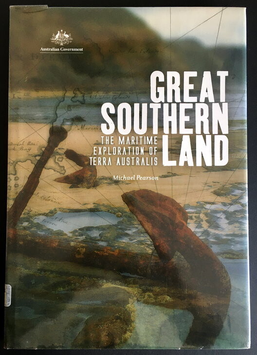
A Great Southern Land: The Maritime Investigation of Terra Australis by Michael Pearson
Book Description
Secondhand. Very good condition. Ex library book with external stickers and protective plastic covering. Stamps on inside page.
This book looks at the European definition and understanding of Australia as a continent through exploring, studying and charting its coasts.
The story includes the separation of an Australian continent from 'Terra Australis Incongnita', the unfolding of the geography of the continental edge and the conceptual change from the Great Southland to Australia.
The maritime investigation and mapping of the coastline of Australia fit into the broader story of the growth of European understanding of the geography of the southern hemisphere. From its representation as an ill-defined land mass in Renaissance charts, Australia was gradually given form by Spanish and Dutch voyagers in the late 19th and early 17th centuries.
French and English navigators defined stretches of the Australian coastline, and the later marine surveyors, such as King and Stokes, refined the overall surveys into accurate charts of the continent's coasts. Finally, the coast of the Australia Antarctic Territory was given reliable form in the middle of the 20th century. (back cover)
